
GTA 6 Map - What We Know About Leonida
See what the GTA 6 map covers, from Vice City and the Keys to Port Gellhorn, and how the state of Leonida is shaping up before launch. More confirmed context.
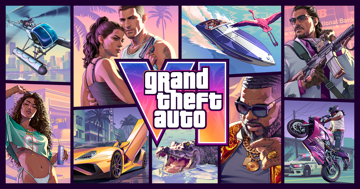
The GTA 6 map is the state of Leonida. Verified coverage so far points to Vice City as the main city, with the Keys, Port Gellhorn, Goose Key and other surrounding areas also appearing in the game world. Rockstar has confirmed the setting as Leonida, a fictional state inspired by Florida.
What areas are confirmed?
From official and gameplay coverage we know about:
- Vice City - the main urban area and the most recognizable location in the game.
- The Keys - coastal islands south of the mainland, with bridges and long drives.
- Port Gellhorn - a separate area that has been shown in gameplay coverage.
- Goose Key and the mile zero air station - areas seen during a military-base gameplay video.
- Leonida - the wider state name Rockstar uses for the setting.
Rockstar has not published a full official interactive map for GTA 6 yet, so the exact borders, city names and road layout still need to be confirmed from in-game exploration.
How big is the map?
The exact size has not been officially confirmed. What we can say from gameplay footage is that the world feels dense rather than empty. In one gameplay video, the drive from Brian's house in the Keys to the mile zero air station on Goose Key is described as about three miles, with tight traffic, real mangroves and long bridges along the way.
Because Rockstar has not shared official map dimensions, any precise square-mile figure is unconfirmed. Treat specific numbers you see online as estimates, not verified facts.
How does the map compare with GTA 5?
GTA 6 moves the setting from Los Santos to Leonida. The map is not a simple copy of Florida, but gameplay footage shows it takes clear inspiration from the region: coastal bridges, mangroves, weather balloons, small motels and roadside businesses are all visible in footage.
We do not yet have an official side-by-side comparison of the full map against GTA 5's map. Until Rockstar publishes more details, the best way to judge size is to wait for confirmed in-game exploration rather than early estimates.
What you can do on the map
From gameplay coverage we know the map supports:
- Driving through realistic traffic - lanes are described as being about as wide as real ones, and traffic jams are part of the experience.
- Exploring small businesses and motels - visible in footage of the Keys and surrounding areas.
- Robbing shops - convenience stores, pawnshops, banks and jewelers are all mentioned as possible targets.
- Using toll booths - electronic toll collection is shown in gameplay footage.
What is still unknown?
- Official map dimensions and district names beyond what Rockstar has shown.
- Whether there are interiors for every building on the map.
- How much of the map is open at the start of the story.
- The exact layout of Vice City streets compared with real-world Miami.
For now, the safest answer is: the GTA 6 map is the state of Leonida, with Vice City, the Keys, Port Gellhorn and Goose Key confirmed from official and gameplay coverage. Anything more specific should wait for verified in-game exploration.
Guides liées
GTA 6 Interactive Map - What We Know
The confirmed GTA 6 map: Leonida and Vice City, key named locations, and how map knowledge connects to saving progress. See what is confirmed and what is not.
GTA 6 Map vs Real Life - How Close Is Leonida?
Compare the GTA 6 map with real life, from lane widths and traffic to Florida-inspired coastal roads, using details from verified gameplay coverage.
GTA 6 Strip Club Location - What Is Confirmed
GTA 6 strip club locations are not documented in verified sources. Here is what we know about the map and what remains unconfirmed. See the confirmed breakdown.
Port Gellhorn - GTA 6 Map Location
Port Gellhorn in GTA 6: the Leonida coastal town, its Moses workshop, and what players should know about this area. See confirmed details and practical steps.